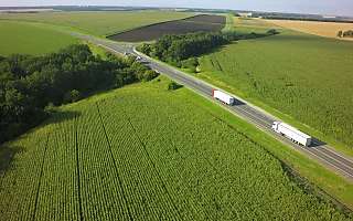


GIS technology is designed to view and manipulate topographical information. Read all about its importance in the world transportation.
What is GIS (Geographic Information System)?
GIS (Geographic Information System) technology is designed to view and manipulate topographical information. Most commonly, GIS is used in the manipulation of maps. It correlates otherwise unrelated data using location as the determinant variable. Typically, GIS technology is used to research and identify transportation-related concerns.
One of the key values of GIS is that it allows users to view a variety of different types of information in one mapped location. For example, a GIS-rendered map might feature streets, buildings and vegetation all in one image.
How GIS can be beneficial
In the world of transportation, users benefit immensely from the real-time component of GIS. It can be very difficult to change course during the later stages of a route that is already in mid-execution. Nevertheless, circumstance does occasionally mandate this, and the detailed data provided by the geographic information system makes it much easier to pivot.
GIS technology gives fleet managers the ability and opportunity to see where their vehicles are in real time, observing not just curving lines on a map but geographical features that may contribute to the viability of a given route. Consequently, this technology makes automated truck-friendly re-routes much more accessible.
GIS and large vehicle navigation
GIS technology is particularly beneficial for larger vehicles. There is a range of geographical features that can be hazardous for trucks but entirely inconsequential for compact cars.
For example, trucks need to worry about low-hanging branches or insufficiently raised overpasses. An encounter with these hazards can not only delay a route significantly but also prove hazardous to the health of the driver. Customized GIS technology takes into account the weight, speed and cargo of a shipment and plans routes that are conducive to safe transportation.
Webfleet and GIS
At Webfleet, we utilize GIS technology in a way that takes all the needs of your fleet into consideration. Our navigation technology accounts for the cargo you are hauling, as well as the speed and size of your vehicles.
To find out more, contact us today and learn all about the geographic information system and technology that can take your route planning to a whole new level.
Your consent is required
In this section, external content is being embedded from .
To display the content, your consent is required for the following cookie categories:
- Targeted Advertising
- Analytics & Personalization
- Essential
For further details, please refer to our privacy policy. If you are interested in how ###vendor_name### processes your data, please visit their privacy policy.


